| Home | Rides | Reviews | Bikes | Gallery | Tech | Misc | Contact |
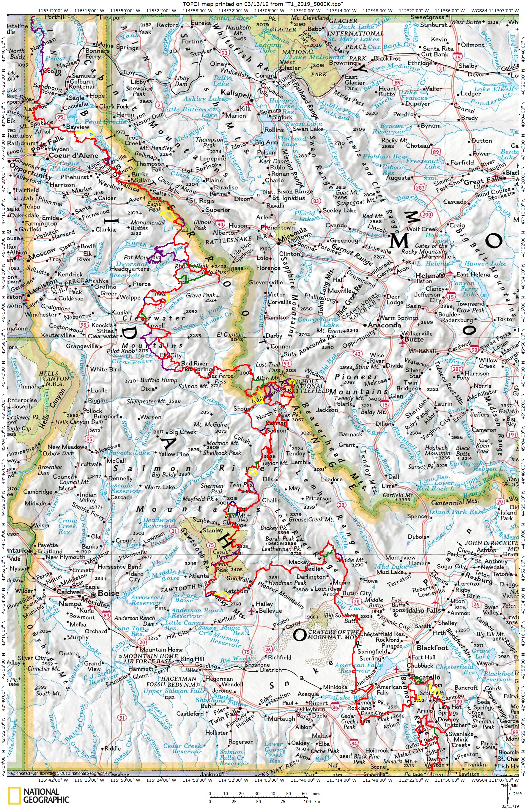
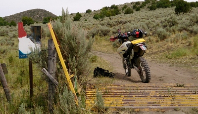
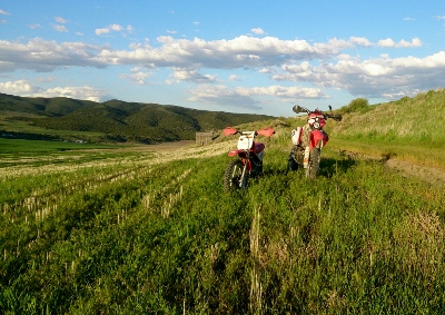
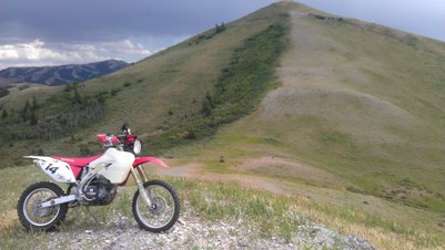
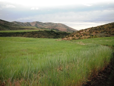
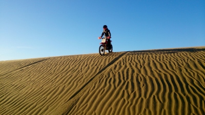
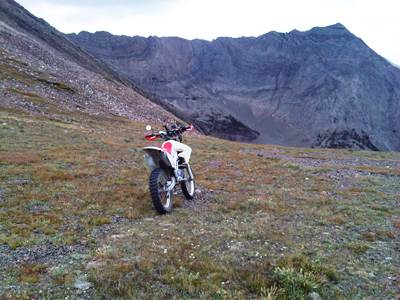
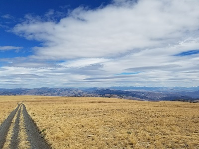
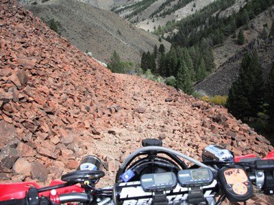
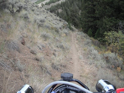
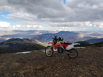
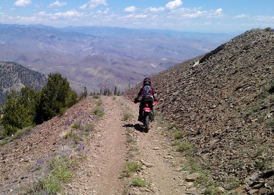
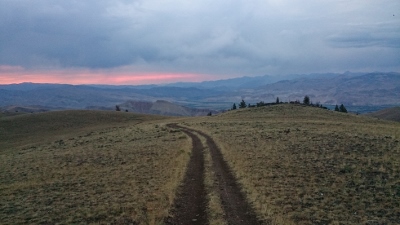
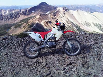
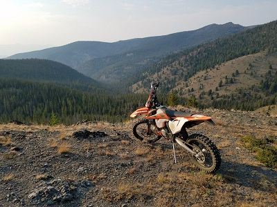
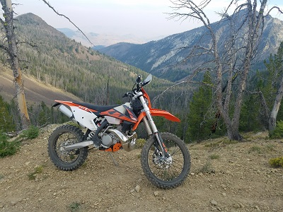
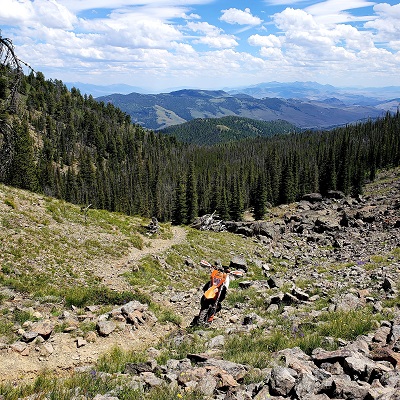
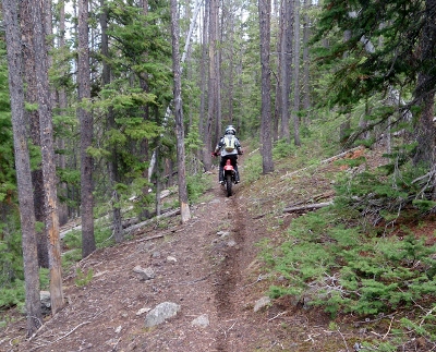
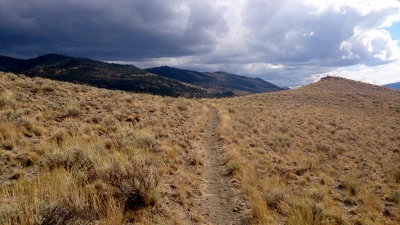
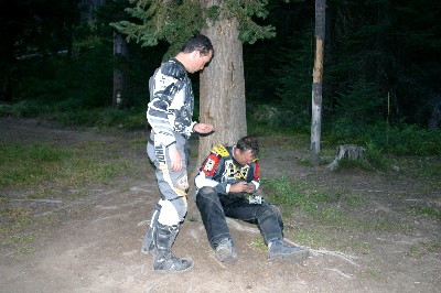
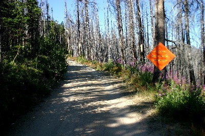
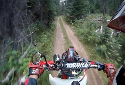
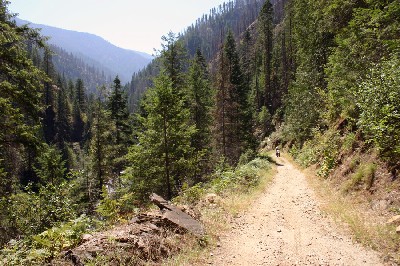
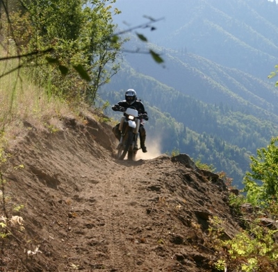
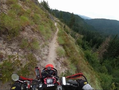
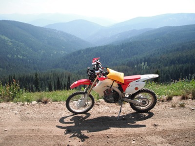
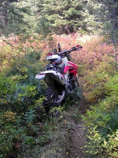
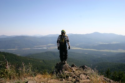
| The Tour of Idaho No support, no cheering crowds - just you, your bike and your wits. The Tour of Idaho is a dirt bike ride designed for soloists and small groups traveling alone and unsupported that begins in the Malad Range of southern Idaho and ends 2000+ miles and a quarter of a million vertical feet later in the Selkirk Mountains near the Canadian border. Between navigation and riding, it is very likely one of the most committing and difficult long dirt bike rides in the United States. It is NOT a dual sport ride - plated dirt bikes with lights are required. There are several variations of the Tour of Idaho. T1 is the "official" Tour of Idaho with restrictions (note: this version ended in 2023. From now on this is a T2), beacon tracking, etc. and a finisher number awarded to those who finish within the rules. T2 is the Cartman "I do what I want" version of T1. T3 is a dual sport Tour that is easier than either T1 or T2 but more difficult than the Idaho Backcountry Discovery Route. T4 is a 500-mile East-West Tour for dual sport bikes. T5 is another East-West Tour that is a bit more like T1. Idaho has some new requirements for off road motorcycles. If your bike is plated out of state, you should be fine. Click here to check the rules. Most of the 13 days required to complete the T1 is spent in remote areas far from the nearest town. Cell phones are of little use much of the way. Water, food, emergency supplies and fuel must be carried and bikes and riders must be capable of a 170+ mile range day after day. The Tour encompasses extremes of elevation (1486' to 10,420') and climate. Most of the trails used on the Tour are far from civilization. The Tour crests 10,000' three times, and 9000' feet a dozen times more. Technical challenges include mud, snow, extensive sections of technical single track, rocky trails, numerous water crossings and deep sand. Navigational challenges abound. There is a distinct possibility of blistering heat, brutal cold and deluges of biblical proportions - rain, snow or both - along the entire route. And all of the above may be encountered within just a few hours. Fires are a perennial problem throughout Tour season. The Tour is in no way a casual undertaking. It's not like 10,000 laps around an enduro course and it is not for everyone. Yet the variety of plants, animals and geological features found along the way is amazing. The riding is varied, challenging and always interesting. The Tour is fun, if your mindset and preparation are good, even when it's really hard. If you are the type of person who feels comfortable rebuilding a bike in the middle of nowhere - with a bear watching, or lashing logs together to cross a swollen creek, the Tour just might be for you. All of the trails along the Tour are officially open from July 1 to early September. The Tour is physically passable, i.e., snow, blowdown and other winter remnants are minimized, by mid to late July each year. A last week of July start is generally the earliest that is advised. By October 1, a significant number of trails used on the Tour are closed to OHV use for hunting season and the Tour is effectively over for the year. T1 officially runs from July 15 until Sept 15. Maps for the Tour of Idaho, waypoints and detailed route information may be found at our detailed route description page. Start there. For up to date trail information and advice, visit the Tour of Idaho Facebook Group and our forum. The Facebook group is open for all to read, but membership is restricted to those actually planning a Tour of Idaho trip the year they join (you must read the group description to be added, and there is some light screening prior to being added). You are free to use all of the information here anyway that you wish. We ask only that you spend some time exploring the information here (there is a lot) before you ask questions on the forum - and that you respect the tradition of reserving the appellation "Tour of Idaho" for those who complete the entire route unsupported and in small groups observing our intervals and standards. For more on what it takes to complete the "Tour" see the route description page. |
|


|
|
| For
more information about the Tour of Idaho please visit our route description page
and the challenge
point page. The list of successful Tour
of Idaho finishers. |
|
|
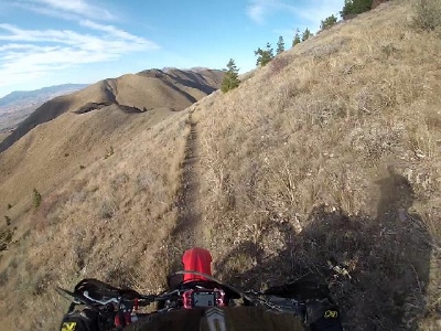
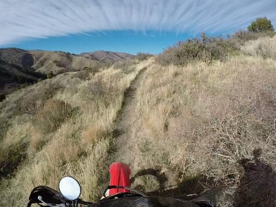
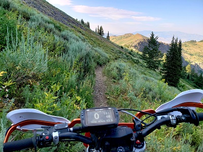
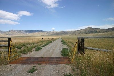
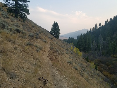
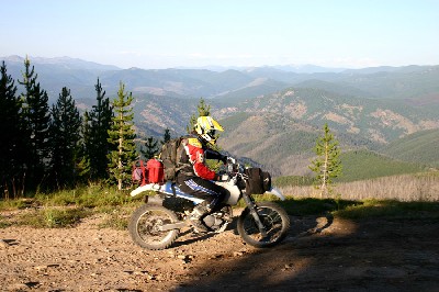
| Idaho-Utah
Border Jenkins Hollow (5762'). D1. |
 |
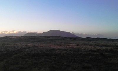
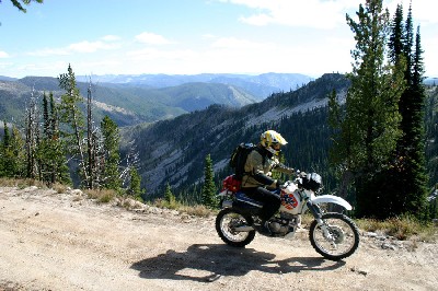
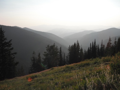
| Old
Baldy Peak Approaching Old Baldy Peak (8356') from the south. D1 |
 |
| Weston
Peak Skirting the western flanks of Weston Peak (8165'). D1 |
 |
| Ruben
Hollow Descending the northern slopes of Weston Peak into Ruben Hollow (7400'). D1 |
 |
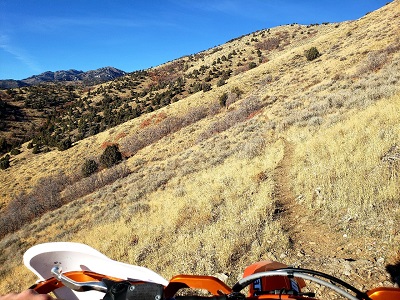
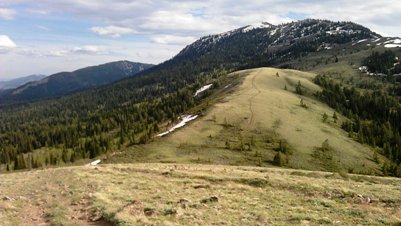
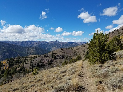
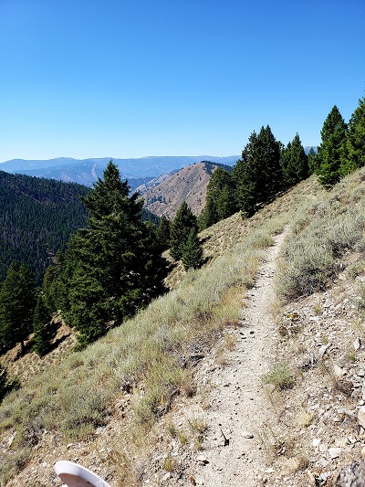
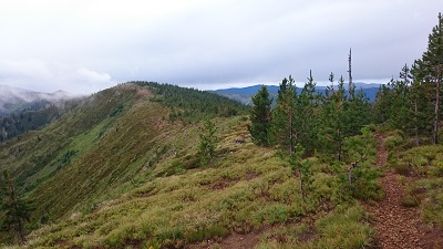
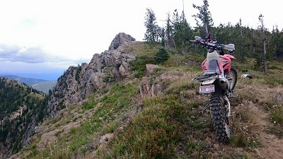
| Oxford
Ridge Beginning the spectacular climb up Oxford Ridge. D1 |
 |
| Oxford
Ridge The Oxford Ridge trail straddles the Oneida/Franklin county line (8281'). The city of Clifton, ID and Twin Lake Reservoir lie in the background, some 4000' below. D1 |
 |
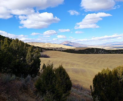
| Oxford
Basin Oxford Basin in the fall (7000'). D1 |
 |
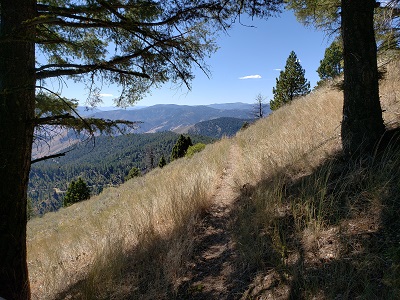
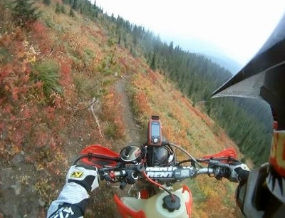
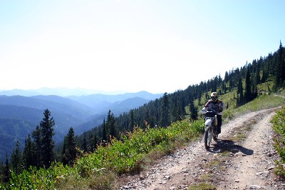
| West
Elkhorn Trail Skirting the southern flank of Elkhorn Peak a few miles from Kent's Canyon. D1 |
 |
| Fenceline
Trail Elkhorn Peak. D1 |
 |
| Fenceline
Trail Elkhorn Peak. D1 |
 |
| Sedgwick
Peak Descending from the summit of Sedgwick Peak (9167') along the Portneuf Range Crest toward Lava Hot Springs. D1 |
 |
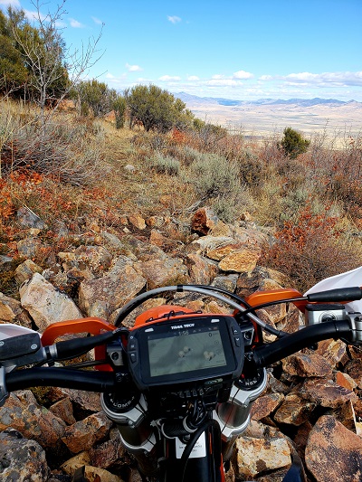
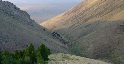
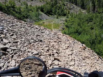
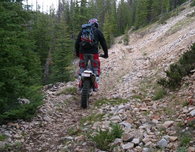
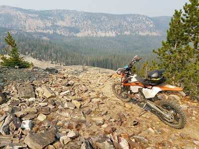
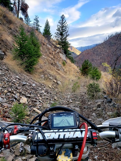
| Reed
Canyon D1 Challenge Section - right were the fun starts. |
 |
| Bob
Smith/Girl Scout Camp Trail Looking back on the approach to Girl Scout Camp (7000') on the D1 challenge section. |
 |
| Robber's
Roost The long, technical climb toward Robber's Roost and Haystack Mountain (7000'). D1 |
 |
| Robber's
Roost Portneuf Range divide (8300'). D1 |
 |
| Inkom
Pass Cresting the knoll above Inkom Pass (7500') along the Portneuf Range Crest. D1 |
 |
| Chinese
Peak Don't forget your Silky. |
 |
| Chinese
Peak/Scout Mountain Looking south toward Scout Mountain (8700') from Chinese Peak (6459') near the top of Blackrock Canyon. D1 |
|
| Tour
of Idaho Flagpole and Register Entering Pocatello (5000'). D1 |
 |
| Slate
Mountain Trail Leaving Pocatello on D2. (5800'). D2 |
 |
| Slate
Mountain Trail Traversing Slate Mountain. (6000'). D2 |
 |
| Scout
Mountain Skirting the eastern slopes of Scout Mountain. D2 |
 |
| Crestline
Cycle Trail Nearing the summit of Scout Mountain D2. (8000'). D2 |
 |
| Scout
Mountain Skirting the eastern flank of Scout Mountain (8700'). D2 |
 |
| Racetrack
Trail Descending Scout Mountain toward Arbon Valley on D2. (6000'). D2 |
 |
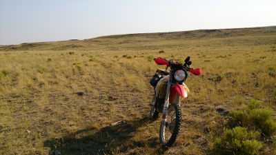
| Arbon
Valley Lusk Loop, Arbon Valley (5415'). D2 |
 |
| Deep
Creek Range Crest of Deep Creek (7400'). D2 |
 |
| Rockland
Valley Rockland Valley (4700'). D2 |
 |
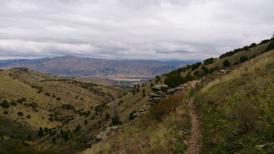
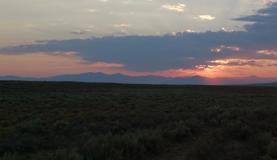
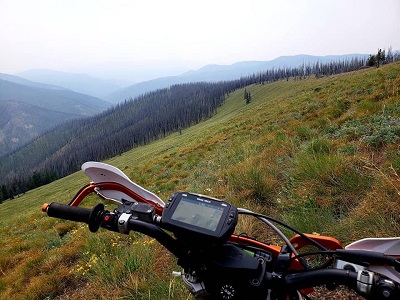
| Desert
Vista Challenge point near Fall Creek. D2 |
 |
| Fall
Creek Looking north toward the Snake River from Fall Creek (4600') in the northern Sublett Range. D2 |
 |
| American
Falls Just west of American Falls on the north side of the Snake River (4417'). D2 |
 |
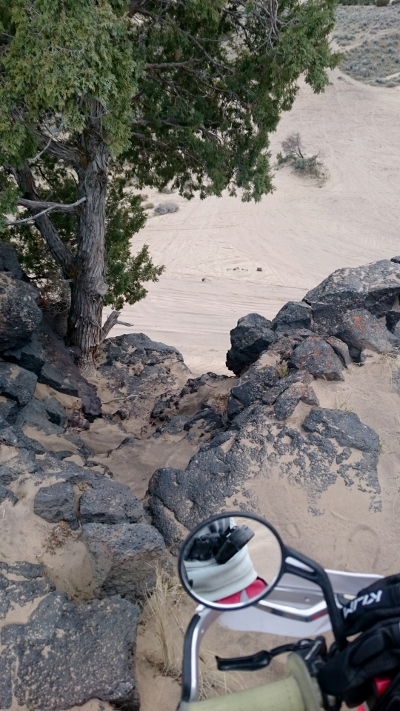
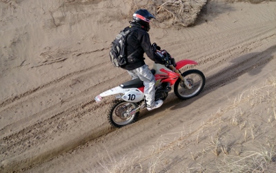
| Sand Trail West of American Falls, on the north side of the Snake River. Thirty miles of sand, dunes, rocks and singletrack. D2 |
 |
| Sand
Dunes Just west of Bonanza Lake. D2 |
 |
| Gasten-Beattie
Well Middle of nowhere, Snake River desert (5087)'. D2 |
 |
| Snake
River Plain Ten miles north of the middle of nowhere (5160'). D2 |
 |
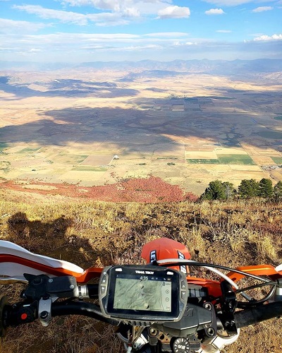
| Big
Southern Butte Big Southern Butte, a prominent landmark along Goodale's Cutoff, rises 2500 feet above the desert floor and dominates the Snake River Plain for a hundred miles in any direction. D2 |
 |
| Big
Southern Butte The view from the lookout on top of Big Southern Butte (7517') in June. The road to the top is steep in sections but suitable for all motorcycles. D2 |
 |
| Big
Lost River The view north toward Arco, 20 miles west of Big Southern Butte. D2 |
 |
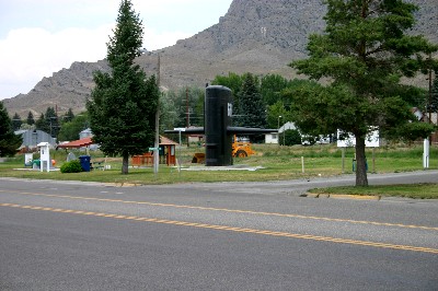
| Arco Arco, ID - population 1026, elevation 5325'. Plenty of submarine parking. US 20 is in the foreground. The road out of town toward Arco Pass is in the front of the sail. Arco is a full-service, dirt bike friendly town. D3 |
|
| Arco
Pass Road Approaching Arco Pass. D3 |
 |
| Pass
Creek Pass Creek area. D3 |
 |
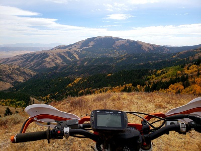
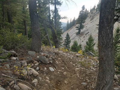
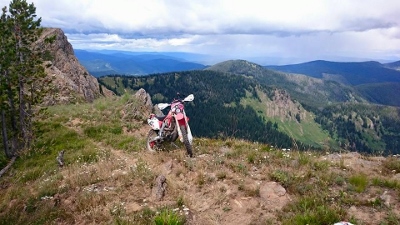
| White
Knob Mountains Pass in the White Knobs (10,000'). D3 |
 |
| Wildhorse
Lookout The view from Wildhorse Lookout (9545'). Pioneer Mountains in the background. D3 |
 |
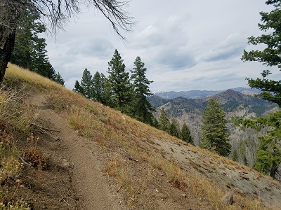
| Little
Kane Creek Looking northeast toward the White Cloud Range from the Burnt Aspen/Little Kane Creek Divide (8200'). D3 |
 |
| Warm
Springs Looking north toward the Warm Springs from the Red Warrior Trail (8500'). D3 |
 |
| Warm
Springs Looking north toward Warm Springs from the Red Warrior Trail (8500'). D3 |
 |
| Big
Peak Creek A view along the Big Creek Peak at the challenge point (6000'). D3 |
 |
| Paradise
Creek Looking back south toward Big Smoky Guard Station from lower Paradise Creek Trail (5900'). D4 |
 |
| Paradise
Creek Looking back south on upper Paradise Creek Trail just south of Snowslide (8000'). D4 |
 |
| Paradise
Creek Switchback section of Paradise Creek Trail descending into the Big Smoky headwaters (8200'). D4 |
 |
| Big
Smokey Headwaters Top of Mule Creek (9000') D4 |
 |
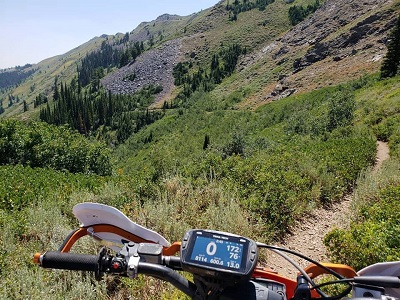
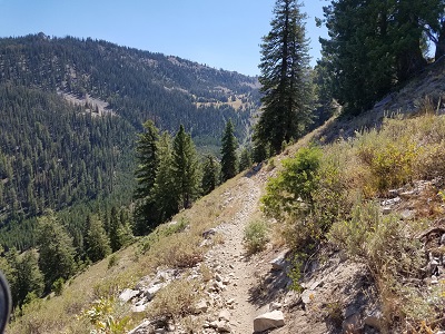
| Grand
Prize Gulch (9000') One of the best trails on the Tour. D4 |
 |
| Little
Boulder Creek Spectacular scenery along the Little Boulder Creek single track trail (7100'). White Cloud Mountains. D4 |
 |
| Little
Boulder Creek Little Boulder Creek Traik (7300'). D4 |
 |
| Big
Boulder/Little
Boulder Divide Crossing the divide from Little Boulder Creek to Big Boulder Creek (9400'). White Cloud Mountains. D4 |
 |
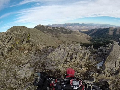
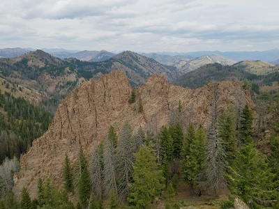
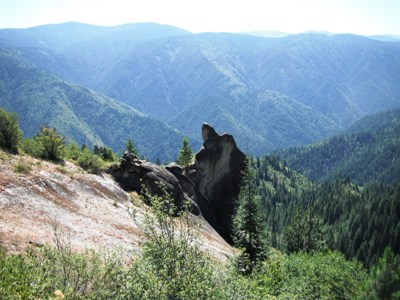
| Chinese
Wall Looking west toward Chinese Wall from the top of Railroad Ridge, the high point of the Tour at 10,400'. D4 |
 |
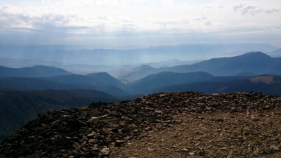
| The
Roof of the Tour Looking north from Railroad Ridge (10,440'). D4 |
 |
| French
Creek Rocky single track descent into into French Creek (7200'). D4 |
|
| French
Creek The single track trail along French Creek (7100'). D4 |
|
| Thompson
Creek (7600') Heading west toward Custer Lookout. D4 |
 |
| Thompson-Cinnibar
(8000') D4 |
 |
| Custer
LO Just below Custer Lookout (9753'), the D4 special challenge section. |
 |
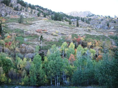
| Bayhorse Above Little Bayhorse Lake (8800'). D4 |
 |
| Ramshorn
Peak (9895') View to the south. D4 |
 |
| Keystone
Peak Descending from Keystone Mountain (9000') into Challis. D4 |
 |
| Lombard
Trail Descending into Challis along the Lombard Trail (7600'). D4 |
 |
| Twin
Peaks Lookout The view from Twin Peaks Lookout (10330'). The second point of the Tour above 10000'. D5 |
 |
| Twin
Peaks Lookout Another view from TPLO (10330'). D5 |
 |
| Pat
Creek Pat Creek single track (6250'). D5 |
 |
| Camas
Creek Near the top of the Eddy Creek/Camas Creek single track (7000'). D5 |
 |
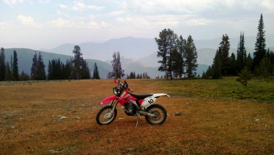
| East
Fork Morgan Creek Starting some of the best trail on the Tour (4872'). D5 |
 |
| Furnace
Creek (8800') The view down Furnace Creek toward Camas Creek. D5 |
 |
| Van
Horn Peak (8600') Go West, young man. D5 |
 |
| Van
Horn/Alder Creek Divide Alder Creek (8000'). D5 |
 |
| Alder
Creek Alder Creek single track (7600'). D5 |
 |
| Corral
Creek Looking north along Corral Creek Trail (7400'). D5 |
 |
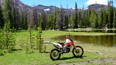
| Hat
Creek Trail A few miles from Hat Creek Lakes (8000'). D5 |
 |
| Hat
Creek Lakes First Hat Creek Lake (8805') D5 |
 |
| Taylor
Mountain Pass Looking north over Taylor Mountain Pass north of Hat Creek Lakes (9181'). D5 |
 |
| Taylor
Mountain Pass Looking north toward Iron Lake (9181'). D5 |
 |
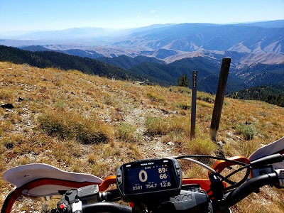
| 45th
parallel The view from the 45th parallel on Salmon Ridge Road (8400'). D5 |
 |
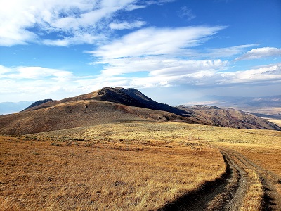
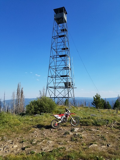
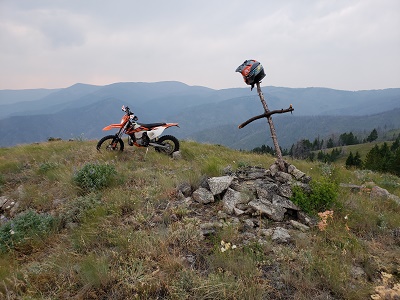
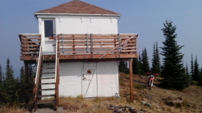
| Ulysses
Lookout D6 (7640') |
 |
| Butcherknife
Ridge (7800') One of the best single track trails of the Tour. D6 |
 |
| Sheep
Creek Another outstanding D6 trail. |
 |
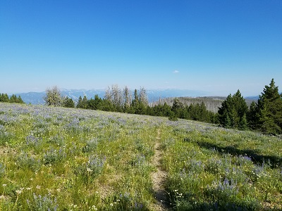
| Silverleads
Ridge Looking back along a sweet section of D6 trail that leads up to Stein Mountain. It gets really steep just after this. D6 |
 |
| Stein
Mountain Trail One of the best trails of the entire Tour, D6 |
 |
| Henderson
Ridge First thing in the morning, D7. |
 |
| Henderson
Ridge D7 |
 |
| Divide
Trail Heading west along the Divide Trail. D7 |
 |
| Marlin
Spring Just south of the Divide Trail (7000') on the D7 Challenge Section. If you see this you are about to be unhappy. |
|
| Blue
Nose Lookout Looking west from Blue Nose Lookout (8677'). The Salmon River valley is in the background. D7 |
 |
| Midnight
Carburetor Repair Kim Creek Saddle (6000'). Smack dab in the middle of the largest contiguous wilderness in the lower 48 and 80 miles from the nearest outpost. Kim Creek Saddle is very cold after dark every month of the year. It is home to many large, curious and hungry carnivores. It is entirely possible to rebuild the carb of an XR600R at night with a flashlight and a Leatherman tool if one's motivation is sufficiently high. D7 |
 |
| Magruder
Saddle The beginning of the "primitive road" section of the Nez Perce Trail in the Magruder Corridor (7040'). D7 |
 |
| Salmon
Mountain The top of the 4000' climb from Magruder Crossing in the headwaters of the Selway River to Salmon Mountain (8228'), the high point of the Magruder Corridor. D7 |
|
| Dry
Saddle The vista from Dry Saddle (7796'). Beyond Dry Saddle the Nez Perce trail descends some 2700' in just 7 miles to Poet Creek. D7 |
|
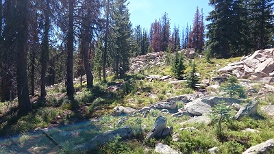
| Elk
City ATV Trail Network Approaching Black Hawk Mountain (5800') along one of the better trail networks along the entire tour. D7 |
 |
| Selway
Falls Nearing Selway Falls (2000'). D7 |
 |
| Pete
King Trail Pete King singletrack trail (3200'). D8 |
 |
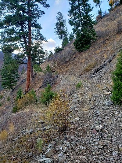
| Fish
Butte Trail The sidehill gets bigger later (4585'). D8 |
 |
| Fish
Butte Trail A bad place to fall off of Fish Butte Trail (3900'). D8 |
|
| Lolo
Motorway The view from Indian Grave Peak (6500'). D8 |
 |
| Windy
Ridge Windy Ridge single track (6288'). D8 |
 |
| Scurvy Saddle Windy Bill singletrack (5000'), D8. When you see this you are just about done - if you can find your way up the hill. |
 |
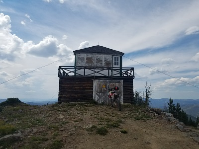
| Scurvy
Mountain Lookout (6691'), D8. When you see this it's all over except for the dirt road drone into Powell Ranger Station. |
 |
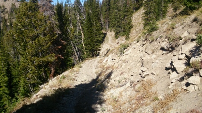
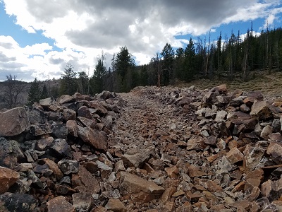
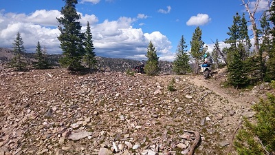
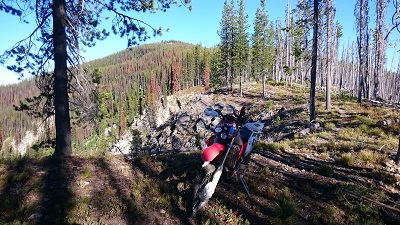
| Rock
Garden The aptly named Rock Garden (6800'). D9 |
 |
| Lunde
Ridge Lunde Ridge (7000'). D9 |
 |
| Cayuse
Creek Heading north from Cayuse Creek on a long but scenic D9 transfer section (5000'). |
 |
| Quartz
Creek From NFD715 near Flyl Hill (6140'). D9 |
 |
| Hellar
DIvide Trail Trail 77 (5500'). D9 |
 |
| State
Line Trail North of Bonanza Lakes (7100'). D9 |
 |
| State
Line Trail Eagle Cliff area of State Line Trail (7400'). D9 |
 |
| State
Line Trail Cliff Lake area of State Line Trail (8000'). D9 |
 |
| State
Line Trail Spectacular scenery abounds along NFD 391, the State Line Trail, here near Craddock Peak (6518'). D9 |
 |
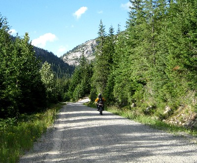
| Roland
Pass An old railroad bridge viewed from Cliff Creek road near Roland (5309'). D9 |
|
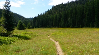
| Independence
Creek Independence Creek single track (3800'). D10 |
 |
| Hoodoo
Mountain Looking north toward Priest River from the summit of Hoodoo Mountain (5119'). D10 |
 |
| Selkirks The view from the Sundance LO at the end of the route (6300'). D10 |
 |
| Home | Rides | Reviews | Bikes | Gallery | Tech | Misc | Contact |